
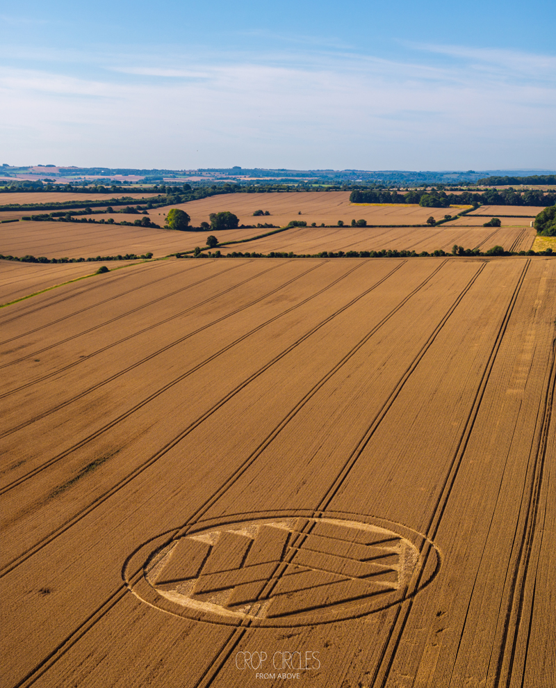
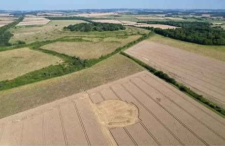
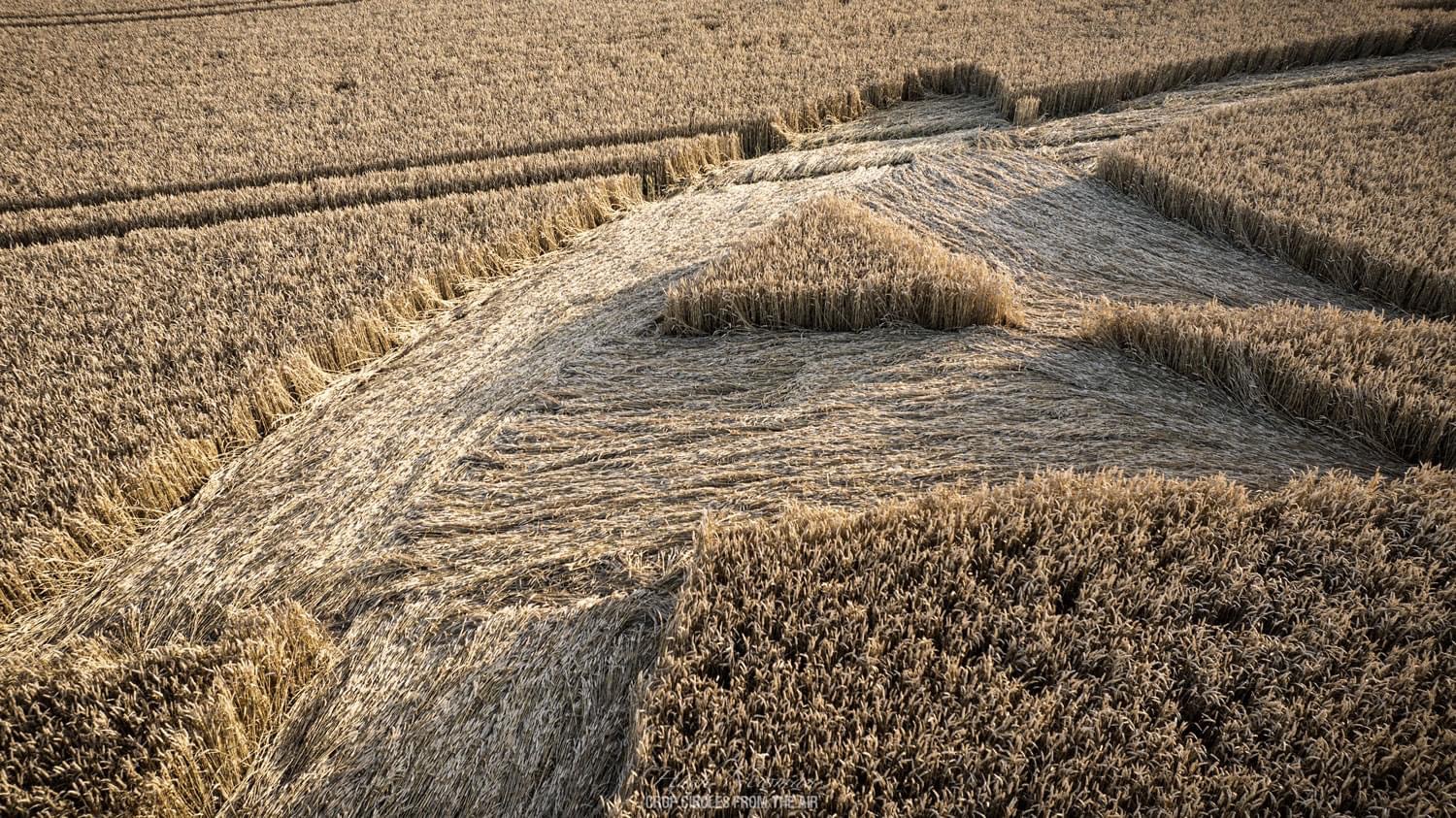
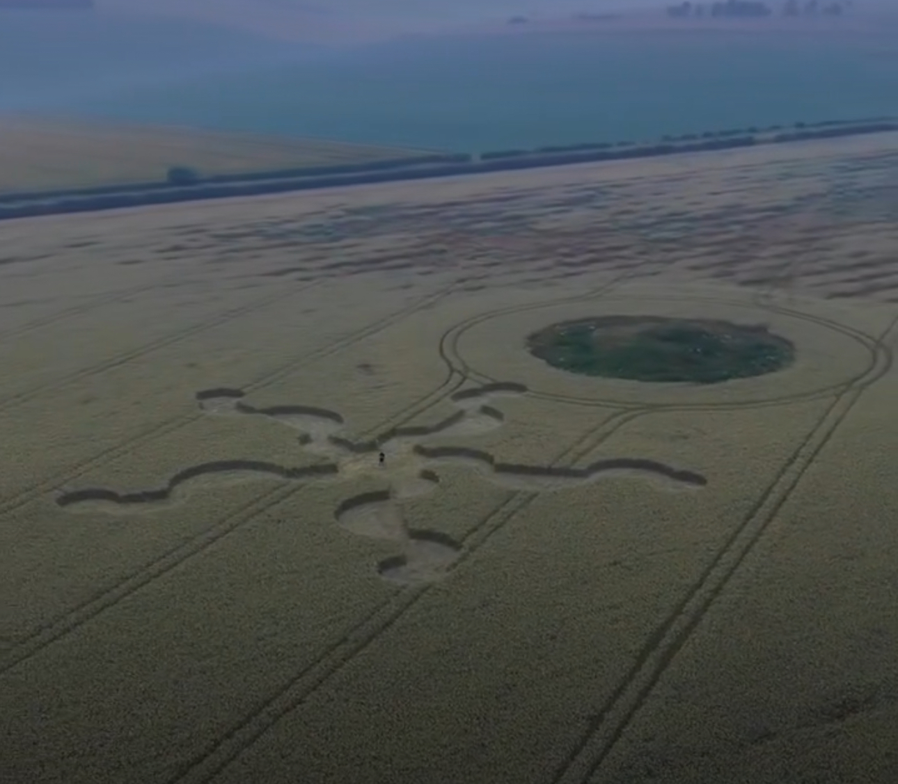
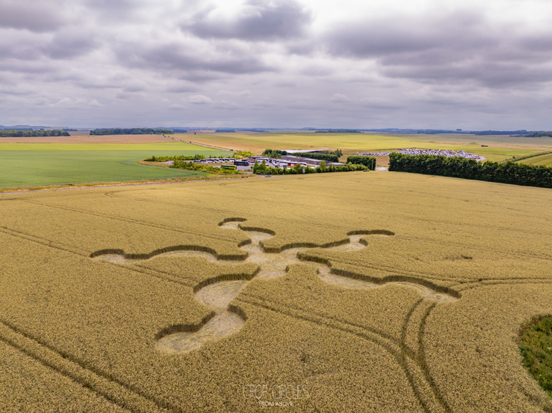
The initial crop circle was reported on 8th August, the addition was reported on 29th August
The Crop Circle can be viewed from the nearby Hill, please park here: Google Maps Link
Near Etchilhampton, Wiltshire, UK
Crop: Wheat
Size: app


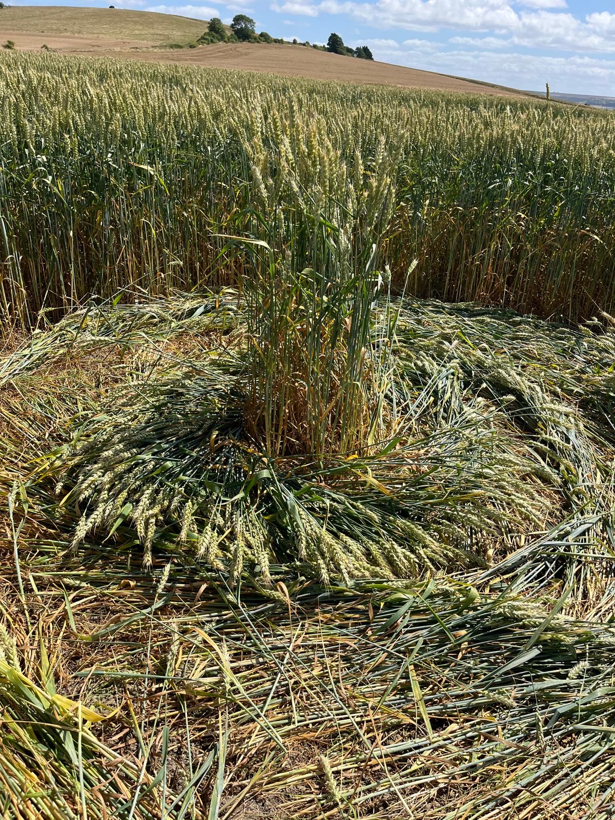
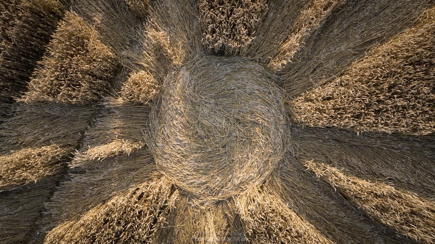
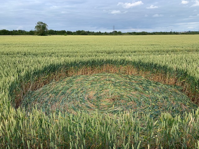
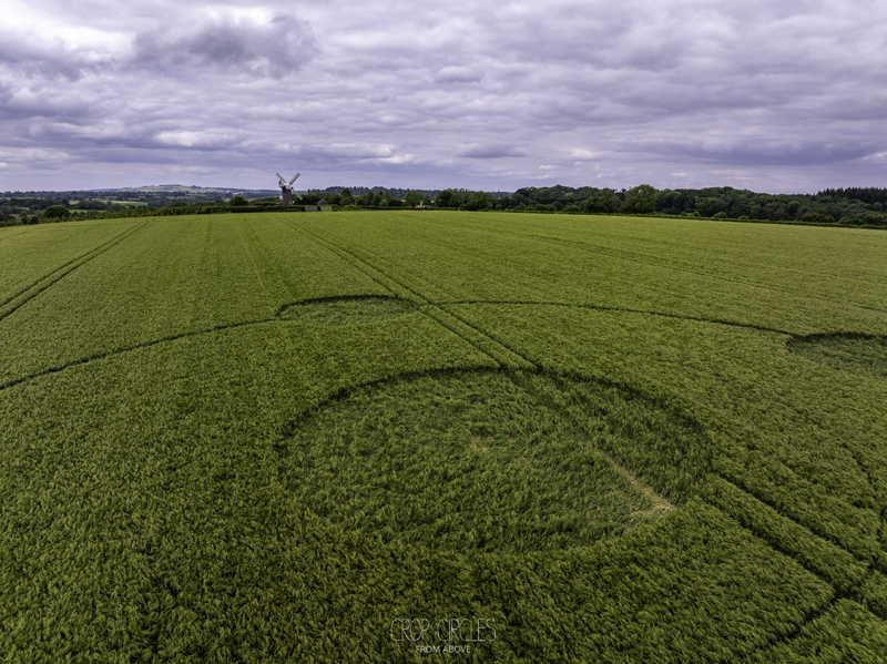
 Reported 19th July 2024
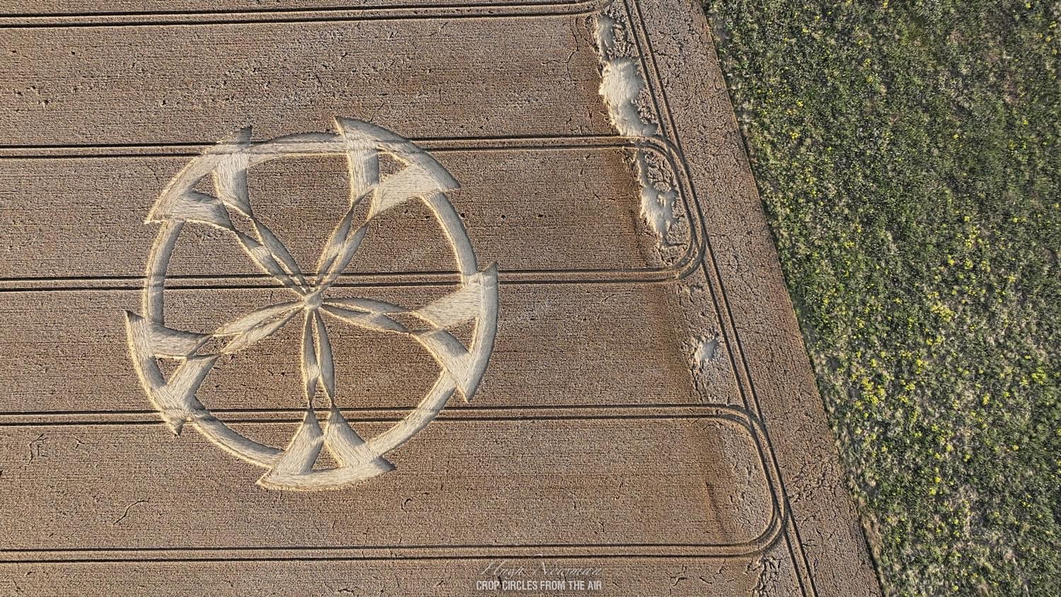
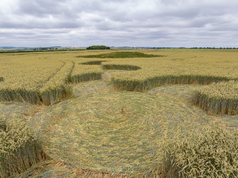
Badbury Rings, Dorset, UK
Crop: Wheat
Size: approx. 90 metres
Photos: Hugh Newman, Crop Circles from the air

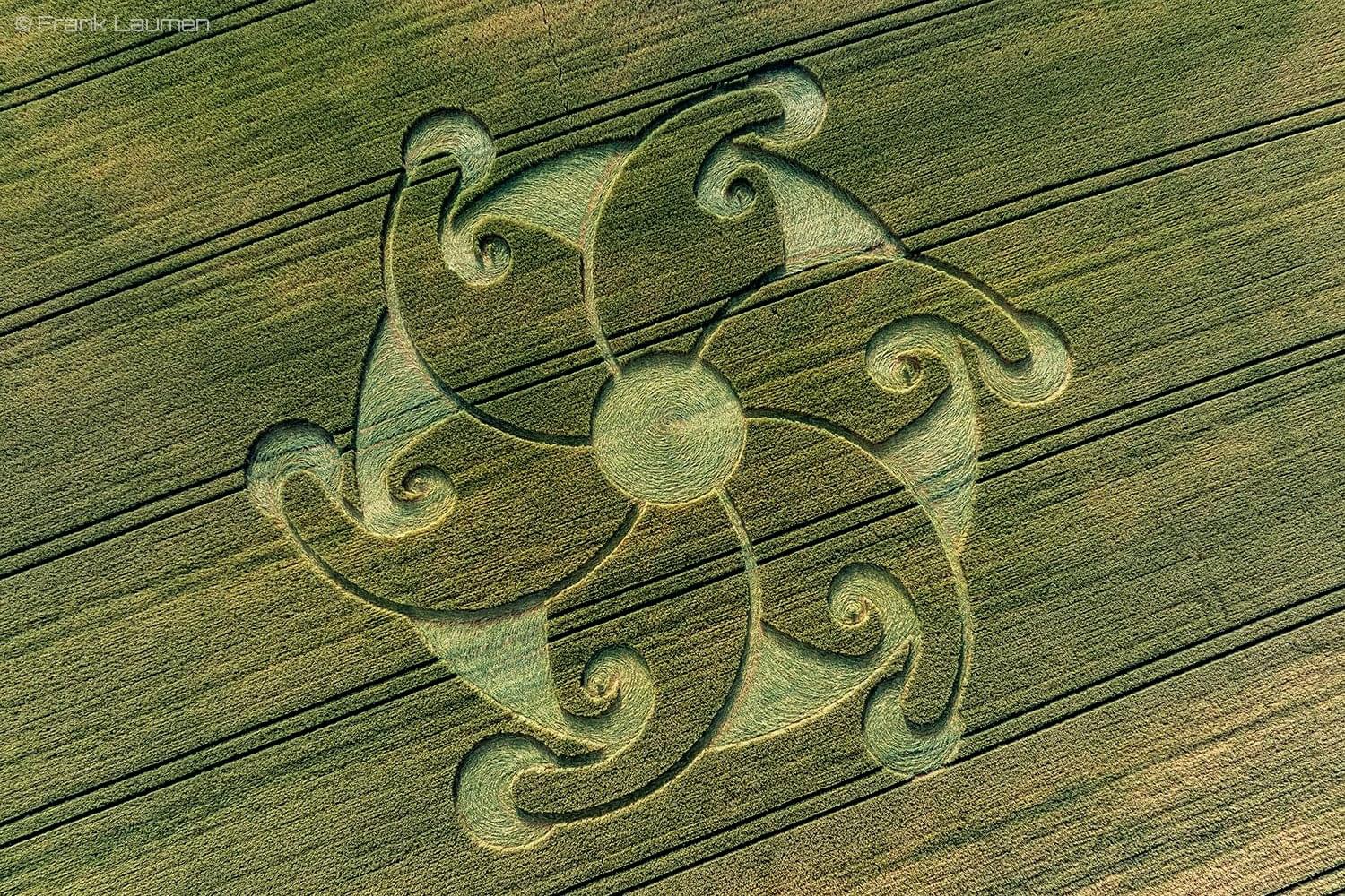
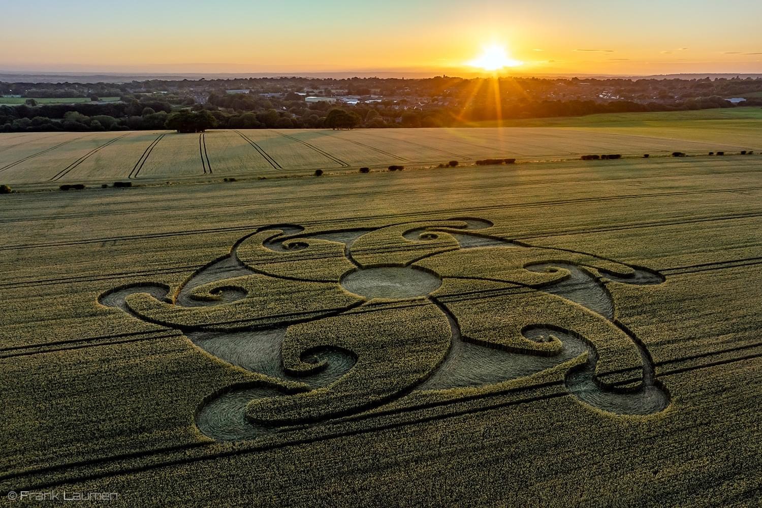
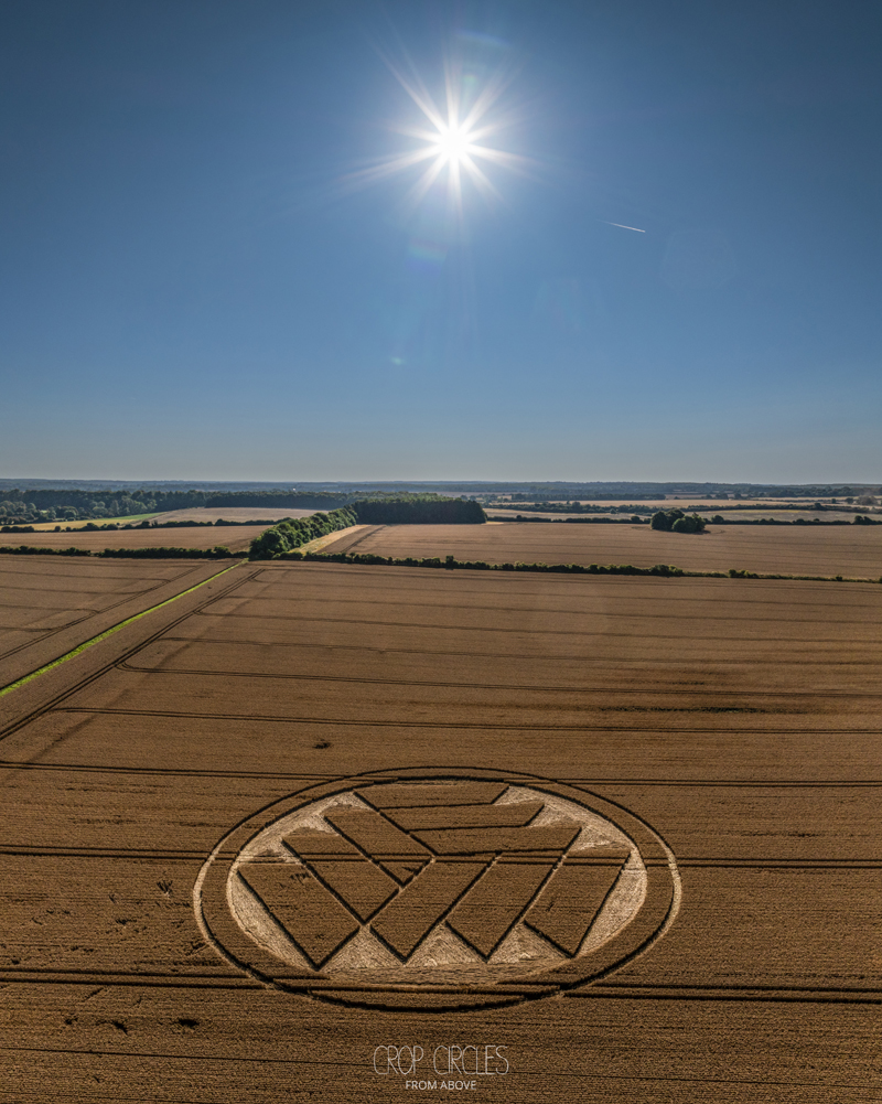
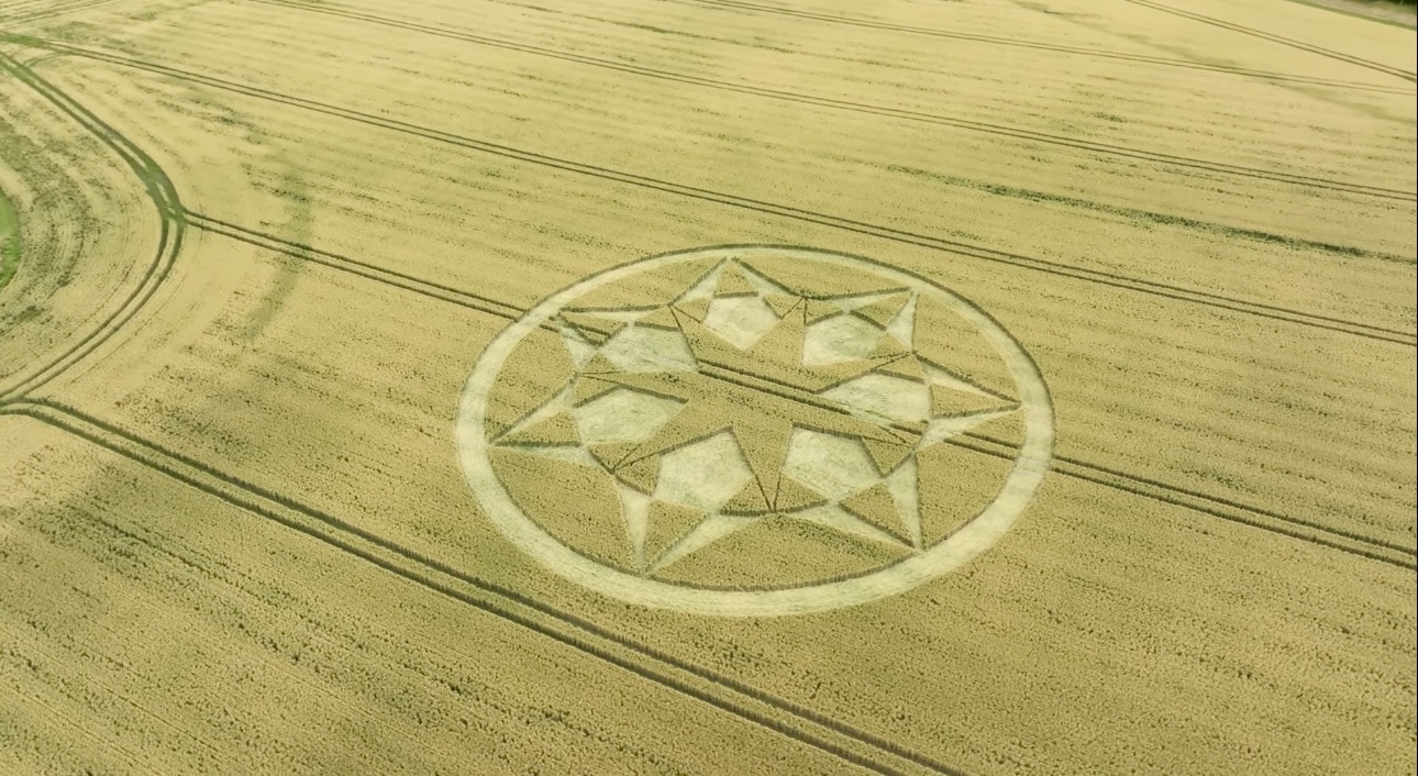
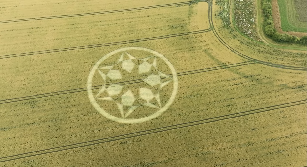
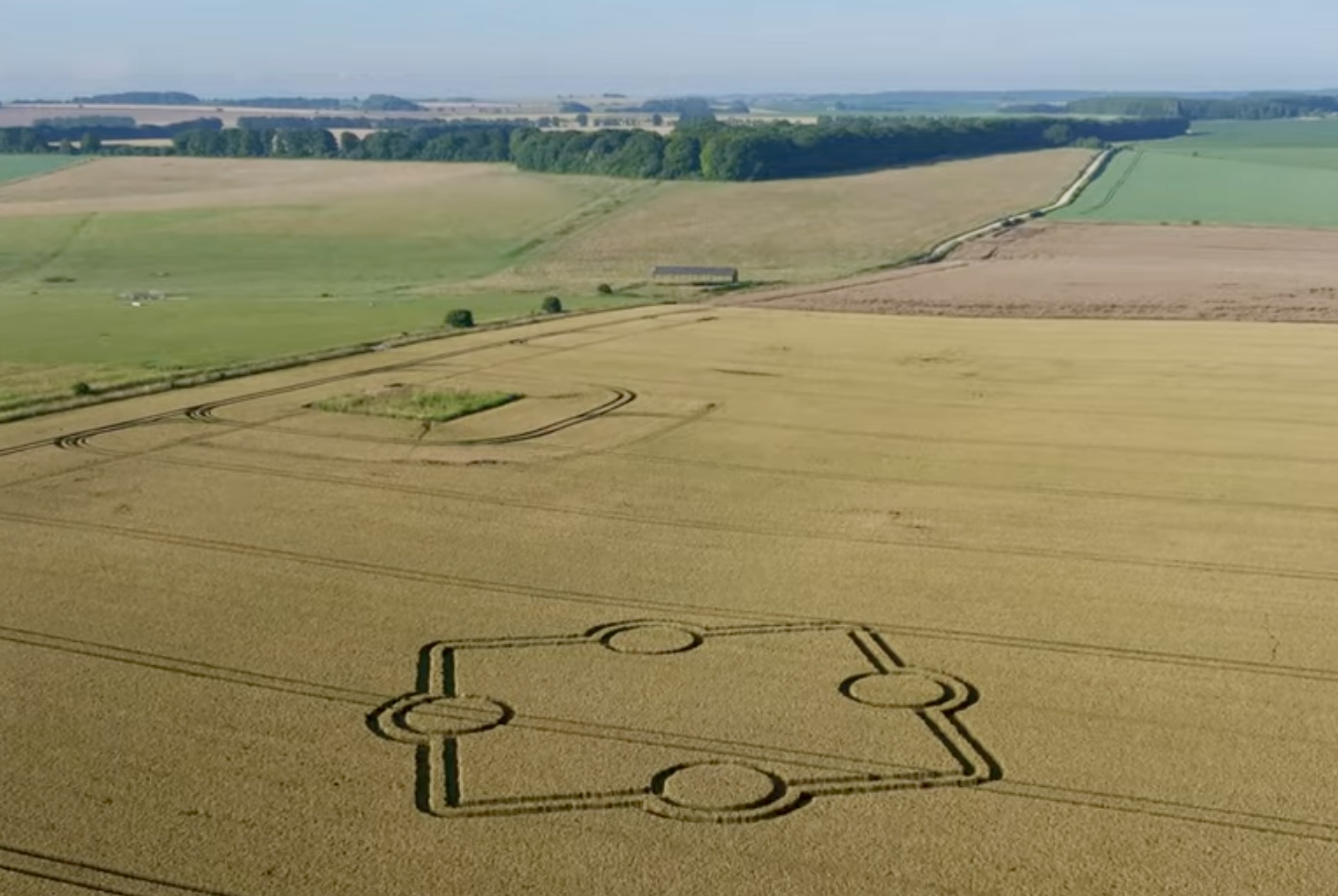
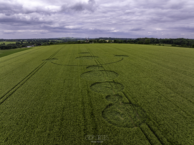
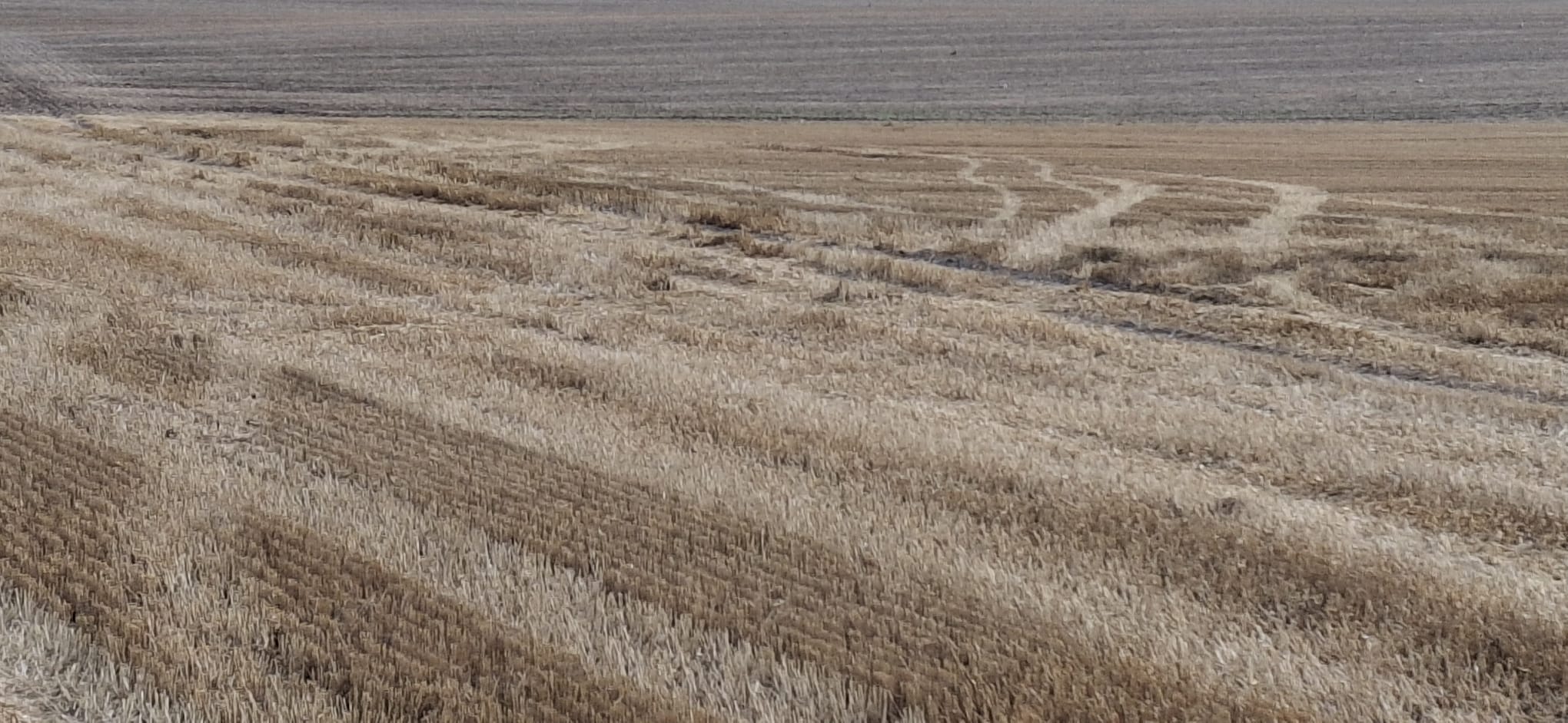 Reported 14th July 2024 Near Stonehenge, Wiltshire, UK
Location: Google Maps Link
Crop: Wheat Size: approx. 45 metres
Photos: Stonehenge Dronescapes


